Severe Storms Target North Texas as Houston Braces for Wind, Then a Weekend Front
A stalled cold front is fueling repeated rounds of strong thunderstorms well north of Houston on Wednesday, while the city itself faces gusty, unseasonably warm weather before a stronger front arrives Saturday.
By Kendra Konchanuk ·
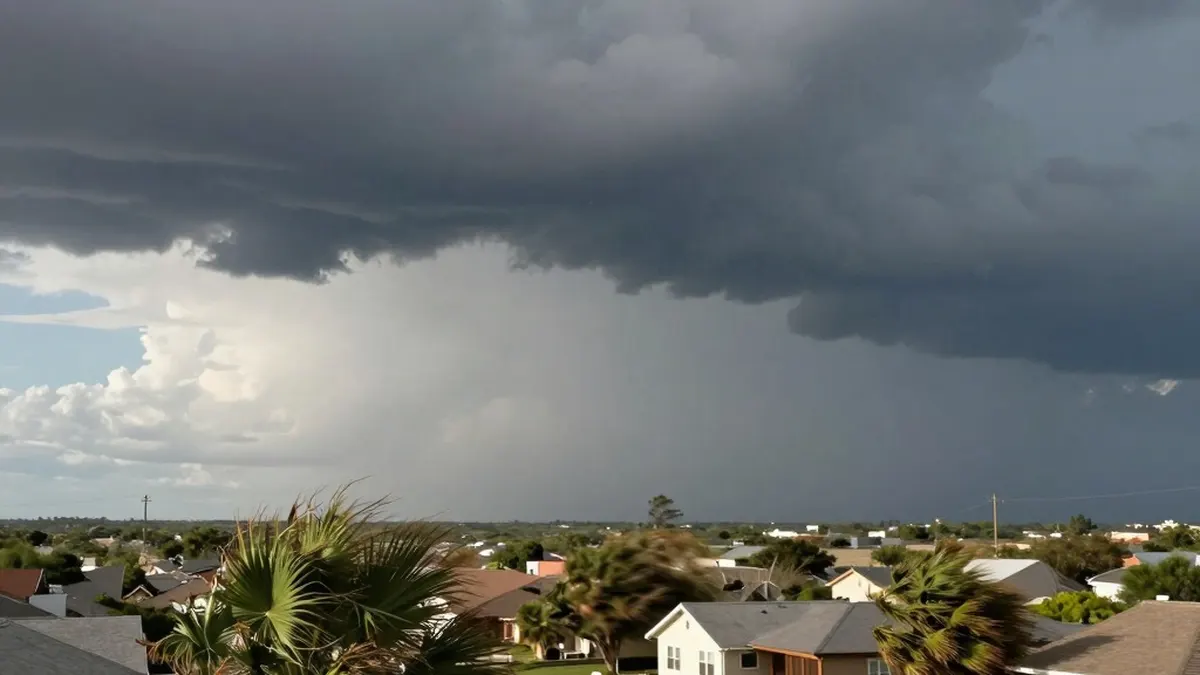
Severe weather season has arrived in force across the northern half of Texas this week. A nearly stationary cold front is generating multiple rounds of strong, potentially severe thunderstorms in areas well to the north of Houston on Wednesday.
The Houston metro area itself faces a low storm risk from Wednesday into Thursday. Apart from an isolated downpour in the afternoon or early evening, most of the region should stay dry until the next cold front moves in late in the week.
The most serious threat Wednesday stays north of Interstate 10, closest to the sluggish front. An isolated severe thunderstorm could produce large hail or damaging wind gusts above 58 mph between Livingston and Huntsville, mainly from 2 p.m. to 8 p.m.
Farther afield, the heaviest storms are expected from Northeast Texas toward the Great Lakes. Communities across that corridor already battered by severe weather over the weekend could see another round, with hail potentially larger than 2 inches in diameter, wind gusts stronger than 75 mph and intense, long-track tornadoes. Travelers heading to the Dallas-Fort Worth area should expect possible delays, and disruptions could be significant for flights from Houston or Dallas toward the Midwest because of the widespread storms.
In Houston, Wednesday will be unseasonably warm, with highs between 86 and 88 degrees, and very windy. Southerly gusts may exceed 30 mph at times, and wind alerts are in place through the early evening. Residents are advised to secure patio furniture and outdoor Easter decorations. Breezy conditions continue Thursday, with highs near 90 degrees and any isolated strong storm remaining north of the city.
The slow-moving front finally starts to advance Friday, which could bring stronger storms closer to Houston. The National Weather Service's Storm Prediction Center has placed a stretch of Texas from Lufkin to San Antonio under a small risk of severe thunderstorms that day. Most of Southeast Texas should avoid severe weather Friday, though a few gusty or hail-producing storms are possible in the Brazos Valley and in suburbs such as Conroe and Brenham.
Houston's best chance for severe weather comes Saturday. Long-range forecast models, including the American GFS and the European, generally suggest a line of strong storms could sweep across Southeast Texas during the afternoon or evening. Timing remains uncertain, but an afternoon or evening arrival of the front would maximize the potential for severe storms in the city, with damaging wind, large hail or an isolated tornado possible.
The front will also bring a sharp change in temperature. Highs fall from the mid-80s Saturday to the mid-60s Sunday, and areas north of I-10 may struggle to climb much above 60 degrees. Temperatures are expected to stay near or below 70 degrees through Monday, with early-week morning lows across Southeast Texas possibly dipping into the 40s. Such strongly cooling fronts become increasingly rare in the second half of spring, and the cool spell is not expected to last.
Source: Houston Chronicle